Drone for lidar
- In stock

Mobula6 2024 1S 65mm Micro FPV Whoop ELRS V3.0 Violet
€371.97 - In stock
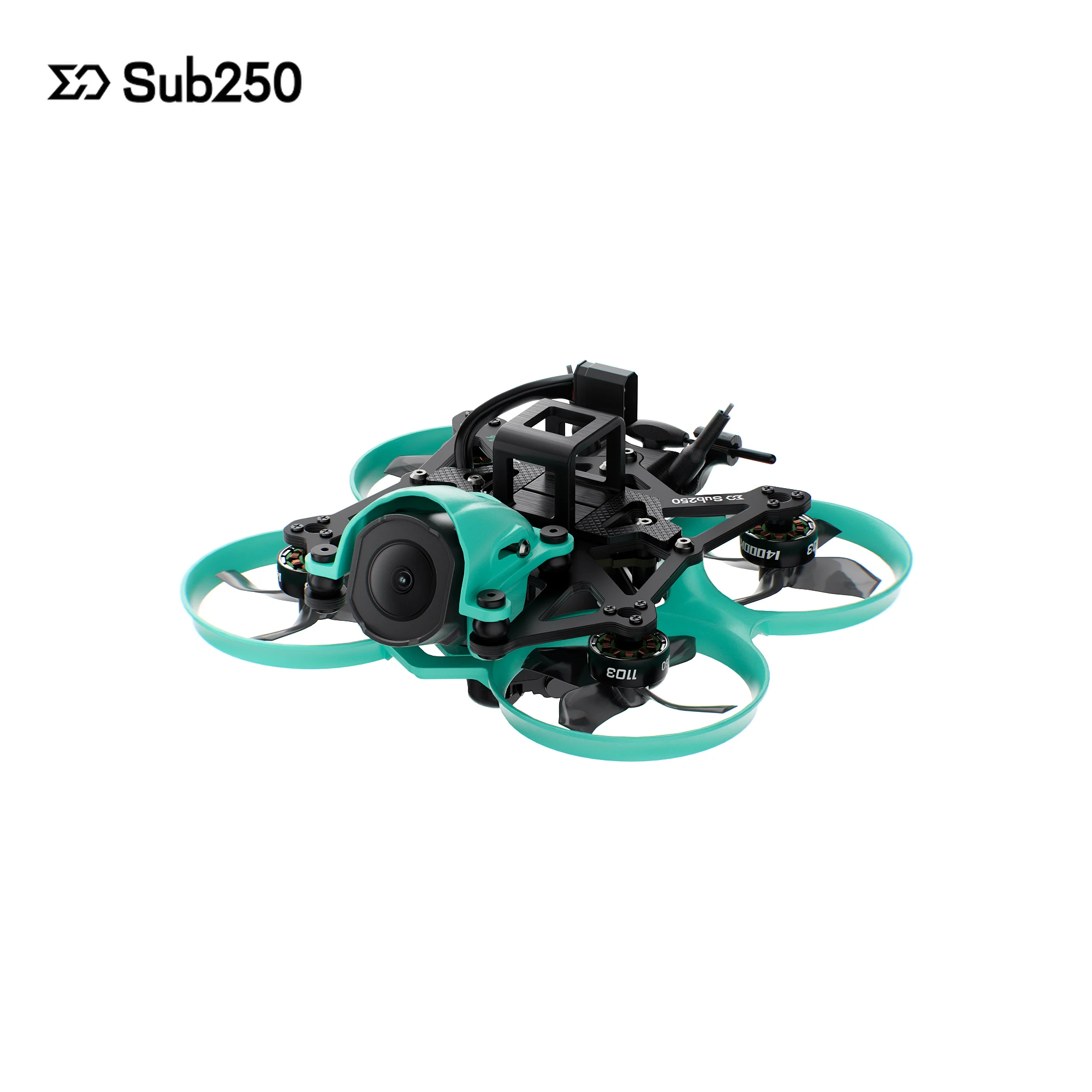
Sub250 DollyFly16 O4 Pro ELRS 2.4G Drone FPV Micro 87g
€337.17 - In stock
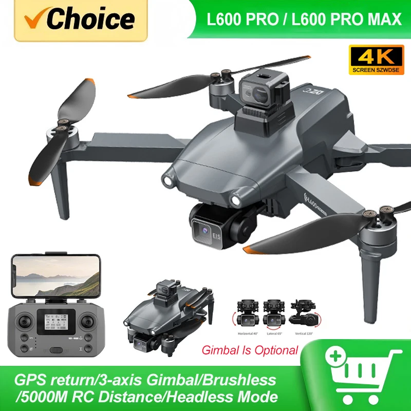
Drone GPS L600 Pro MAX 4K 3-Axis Gimbal Brushless Moteur OAS
€269.97 - In stock
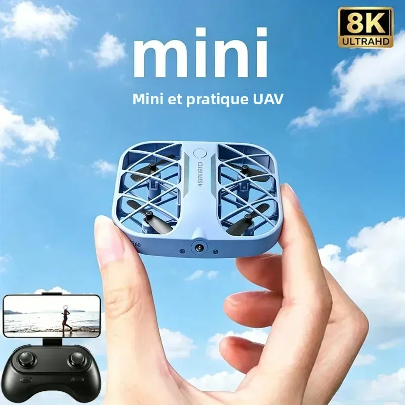
Drone 8K Camera 2.4G RC Quadcopter – Plie, Altitude Hold, WiFi FPV
€110.97 - In stock

Drone L600 PRO MAX 8K GPS 3-Axis Gimbal Obstacle Avoidance
€392.97 - In stock

DarwinFPV FoldApe4 Drone FPV 4 pouces Pliable Micro Long Range BNF ELRS/TBS
€340.17 - In stock
Drone GPS Pro L600 Pro MAX 4K 3-Axis Gimbal Brushless
€269.97 - In stock
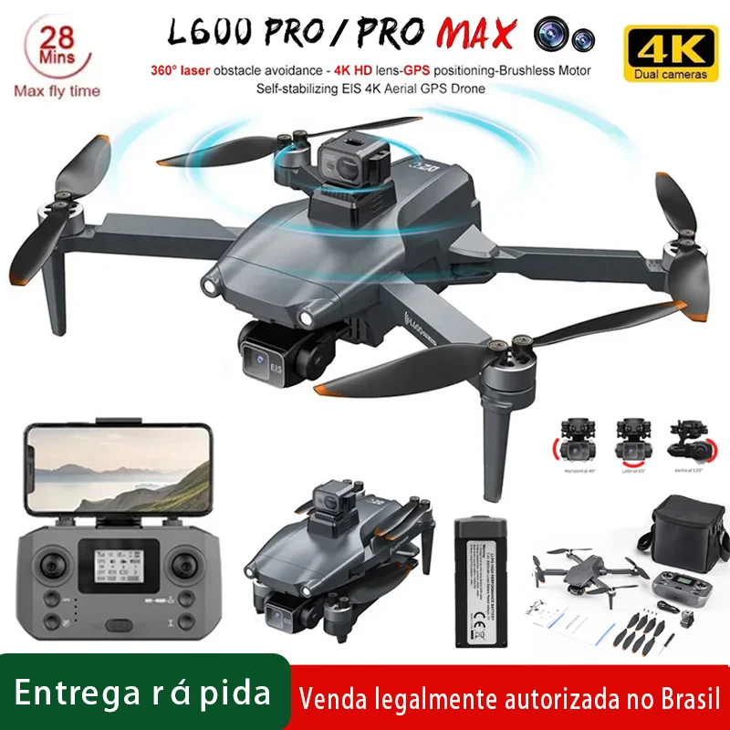
Drone GPS L600 Pro Max 4K 3-Axis Gimbal Obstacle Avoidance
€251.97 - In stock
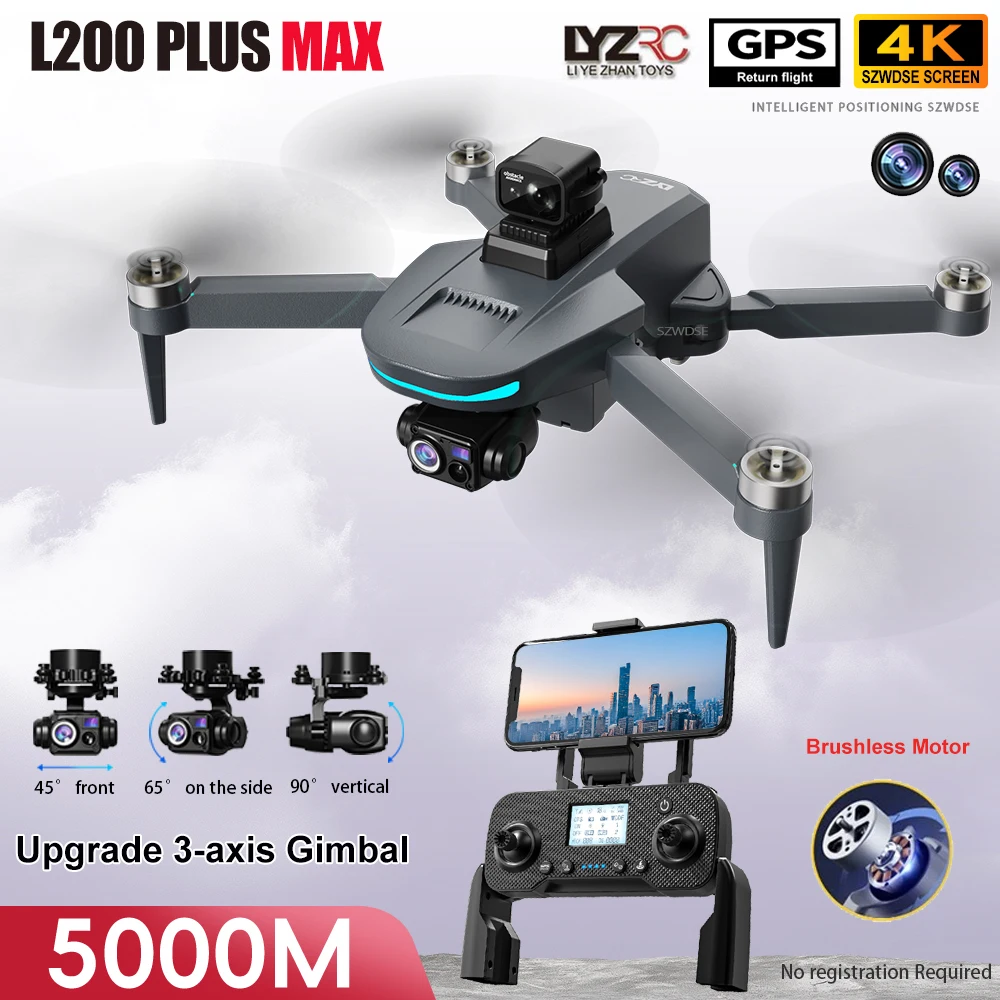
Drone L200 Plus MAX 4K GPS 360° Moteur Brushless
€311.97 - In stock
DarwinFPV FoldApe4 Drone FPV 4 pouces Micro Long Range Pliable BNF/PNP
€340.17 - In stock
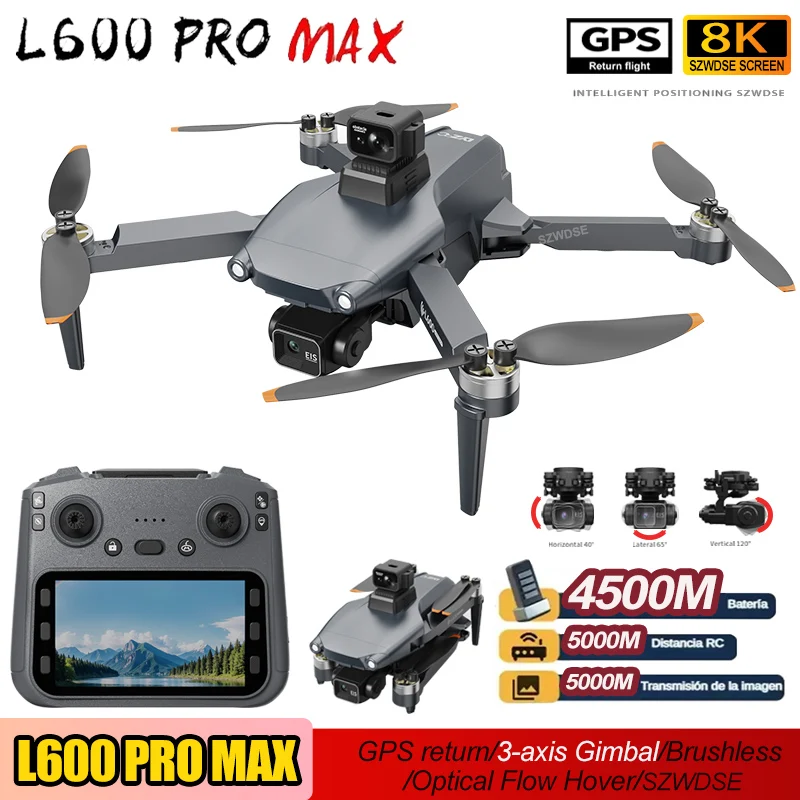
Drone L600 PRO MAX 8K GPS 3-Axis Gimbal 5KM FPV RC Quadcopter
€382.17 - In stock
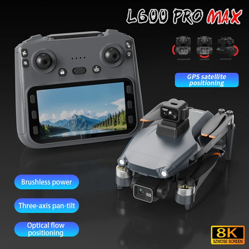
4K GPS Drone 3-Axis Gimbal Anti-Collision 5G WIFI FPV RC Quadcopter
€433.17 - In stock
Professional GPS Drone L600 Pro MAX 4K 3-Axis Brushless Motor
€271.17 - In stock
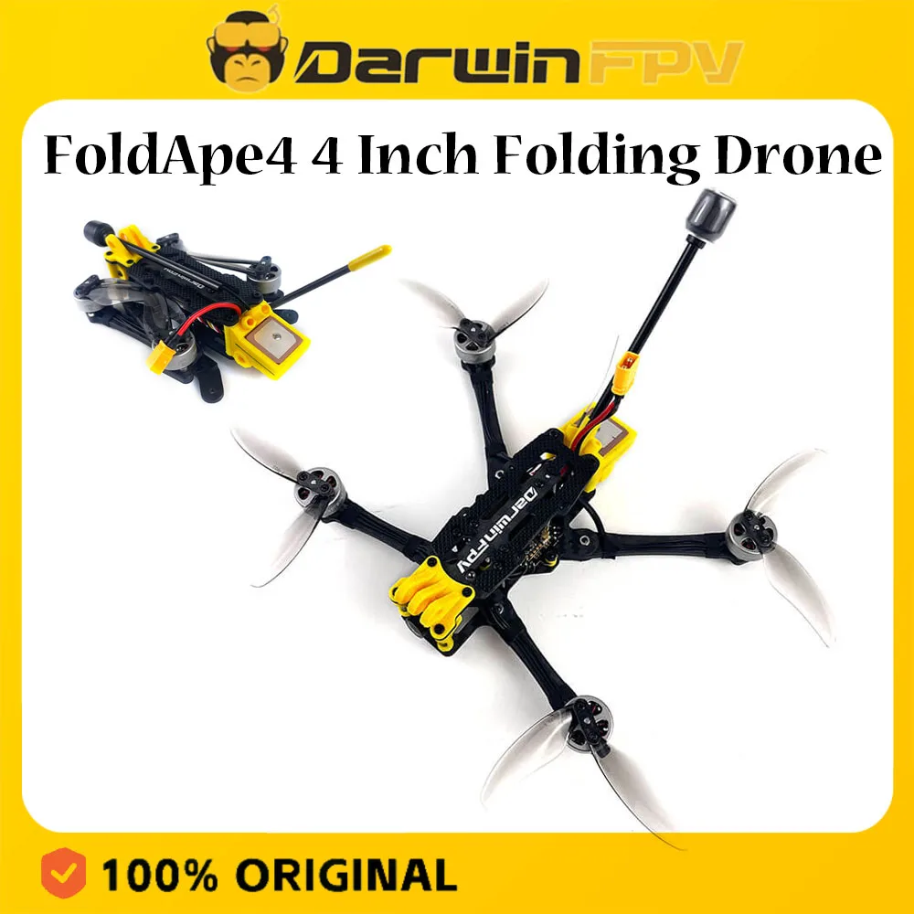
DarwinFPV FoldApe4 Drone FPV Micro 4" Foldable Analog ELRS BNF
€445.17 - In stock
DarwinFPV FoldApe4 4-inch Micro Long Range FPV Drone BNF ELRS/TBS/Avatar HD
€340.17 - In stock

NewBeeDrone LionBee Long Range ELRS 2.4 AIO – 1S Micro FPV Drone
€218.97 - In stock
Drone L600 PRO MAX 8K GPS 3-Axis Gimbal 5KM FPV
€382.17 - In stock
DarwinFPV FoldApe4 4-inch FPV Drone Foldable Micro Long Range BNF ELRS/TBS/Avatar HD
€340.17 - In stock

Drone L900 Pro 4K GPS 5G HD Foldable 1.2km
€169.17 - In stock
DarwinFPV FoldApe4 4-inch FPV Drone Foldable Micro Long Range BNF ELRS/TBS/HD
€340.17
Explore the Future of Aerial Imaging with Buyerdrone’s Drone for LiDAR Collection
Discover the ultimate selection of professional-grade drones engineered for precision, performance, and immersive aerial experiences. Our curated Drone for LiDAR collection brings together high-end quadricopters and compact FPV platforms designed to deliver stable, high-resolution flight for surveying, mapping, and detailed environmental documentation. Whether you're a professional surveyor, an outdoor explorer, or a creative content creator, this collection offers reliable, GPS-enabled drones with advanced stabilization and long-range transmission for consistent, real-time feedback.
Why Choose a Drone for LiDAR Applications?
While not all drones in this collection feature LiDAR sensors per se, they are purpose-built for environments where high-accuracy spatial data matters. These models support precise positioning, obstacle avoidance, and consistent flight behavior—key traits when integrating with LiDAR systems or operating in complex terrain. With 3-axis gimbals, stable GPS tracking, and FPV capabilities, they ensure smooth, uninterrupted data capture from above.
Top Models in Our LiDAR-Ready Drone Collection
- Drone L600 PRO MAX 8K GPS 3-Axis Gimbal 5KM FPV – A flagship quadricopter with professional-grade 8K video, 3-axis stabilization, and long-range digital FPV transmission. Built for demanding aerial missions requiring clarity and reliability.
- Drone L600 PRO MAX 8K GPS 3-Axis Gimbal with Obstacle Avoidance – Combines 8K imaging with intelligent flight safety. Ideal for complex missions where precision and environmental awareness are essential.
- Drone GPS L600 Pro Max 4K 3-Axis Gimbal Brushless – Engineered for long endurance and stable flight. Features brushless motors and a 3-axis gimbal for smooth, cinematic footage in challenging conditions.
- DarwinFPV FoldApe4 Drone FPV 4 pouces Pliable Micro Long Range BNF – A compact, foldable FPV drone with long-range ELRS transmission. Perfect for travel, tight spaces, and agile maneuvering in dense or rugged environments.
- NewBeeDrone LionBee Long Range ELRS 2.4 AIO – A micro FPV drone with advanced AIO (All-in-One) electronics and anti-inversion protection. Designed for responsive, safe flight in demanding scenarios.
Seamless Integration with LiDAR Systems
These drones are not just for aerial photography. Their GPS stabilization, return-to-home functionality, and obstacle avoidance make them ideal platforms for mounting LiDAR sensors or integrating with LiDAR-enabled flight software. Whether you're mapping forest canopies, urban infrastructure, or archaeological sites, the combination of stable flight and precise positioning ensures data integrity and repeatable results.
Price Range & Value for Every Need
Our collection spans a realistic price spectrum to match your project scale and budget:
- €251.97 – €269.97 – Entry to mid-tier professional drones with 4K, 3-axis gimbals, and brushless motors. Great for reliable, long-duration flights with consistent image quality.
- €340.17 – €382.17 – Premium models with 8K video, 5km FPV transmission, and advanced obstacle avoidance. Built for professionals requiring top-tier performance and reliability.
- €218.97 – A high-performance micro drone for agile, short-range missions where portability and responsiveness are key.
Fast, Reliable Delivery Across Europe
Order today and enjoy fast shipping across Europe. All drones in this collection are in stock and ready to ship, ensuring you get your equipment without delays. Whether you're preparing for a field survey, a creative shoot, or a technical mapping project, your drone is just a few days away.
Frequently Asked Questions
What makes a drone suitable for LiDAR integration?
Drones suitable for LiDAR applications prioritize flight stability, precise GPS positioning, and consistent altitude hold. Models in this collection feature 3-axis gimbals, return-to-home, and obstacle avoidance—critical for accurate data capture during aerial scanning missions.
Are these drones compatible with LiDAR sensors?
While the drones in this collection do not include LiDAR sensors themselves, they are designed to support external LiDAR integration. Their stable flight systems, GPS reliability, and compatibility with external payload mounts make them ideal platforms for mounting LiDAR units in surveying, mapping, or environmental research.
Can I fly these drones in urban or forested areas?
Yes. With obstacle avoidance and GPS stabilization, these drones maintain control in complex environments. The DarwinFPV FoldApe4 and NewBeeDrone LionBee are especially suited for tight spaces, while the L600 PRO MAX series excels in open or structured terrain.
Do I need a smartphone or app to operate these drones?
These drones are designed for direct FPV flight using a dedicated controller. Some models support external monitoring via a video transmitter, but no specific app or smartphone is required. The focus is on real-time, low-latency control for professional use.
What’s the advantage of a 3-axis gimbal in LiDAR or mapping drones?
A 3-axis gimbal ensures the camera remains steady during flight, minimizing image blur and preserving data accuracy. This is essential when capturing high-resolution images or integrating with LiDAR systems, where even slight movement can affect spatial precision.
Need help choosing?
Contact our teamFree shipping
No minimum purchase
Secure payment
SSL 256-bit & 3D Secure
30-day returns
Satisfied or refunded
CE certified products
European standards EN
Customer service 7 days a week
Response within 24 hours